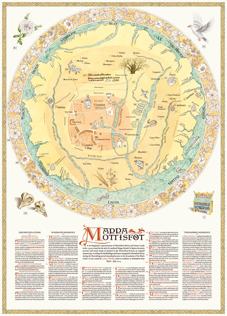
Mappa Mottisfont, 2014, A0 digital print, a contemporary mappa mundi of Mottisfont Priory, estate and landholdings in the 1340s
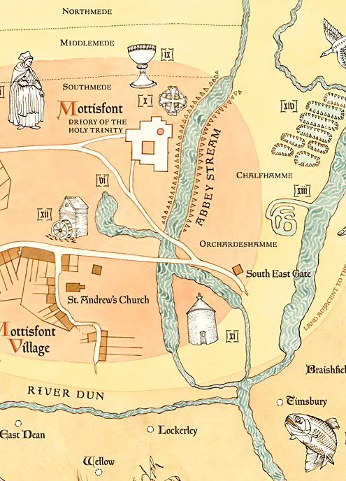
Mappa Mottisfont (detail), 2014, pen & ink with watercolour
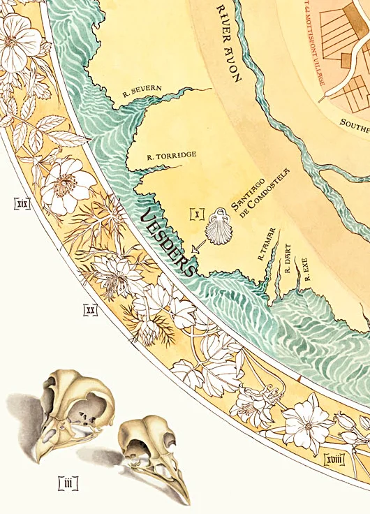
Mappa Mottisfont (detail), 2014, pen & ink with watercolour
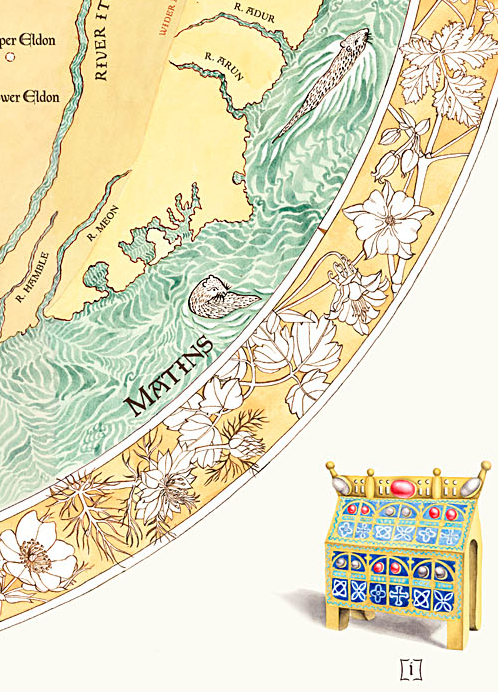
Mappa Mottisfont (detail), 2014, pen & ink with watercolour
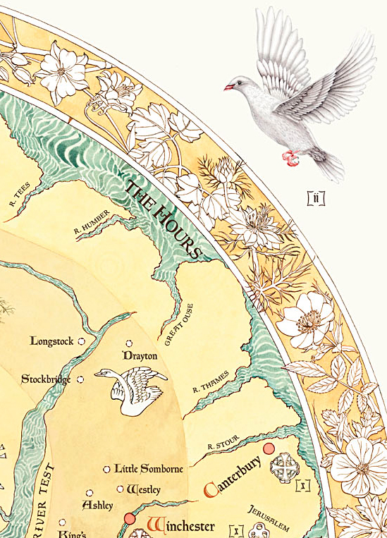
Mappa Mottisfont (detail), 2014, pen & ink with watercolour
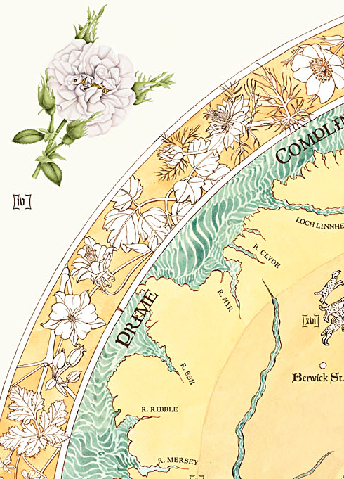
Mappa Mottisfont (detail), 2014, pen & ink with watercolour
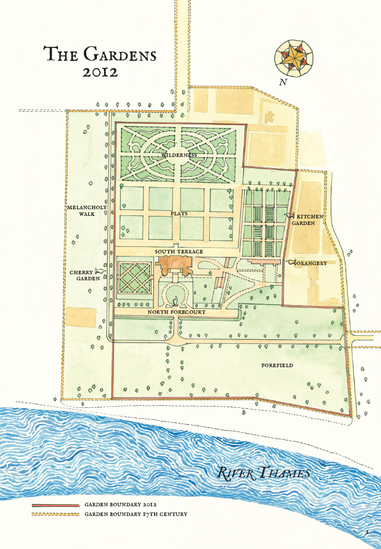
The Gardens at Ham House, 2012, pen & ink with watercolour, map indicating the garden boundary in the 17th century and present day
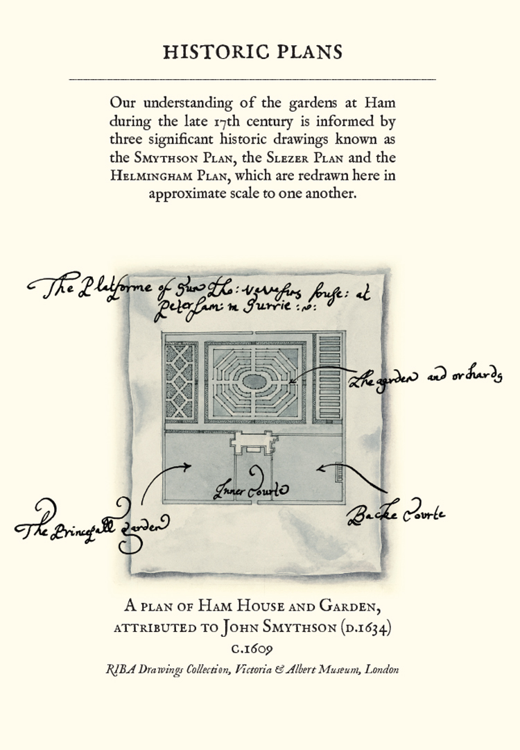
The Gardens at Ham House, 2012, pen & ink with watercolour, drawing of the Smythson Plan of the garden, circa 1609
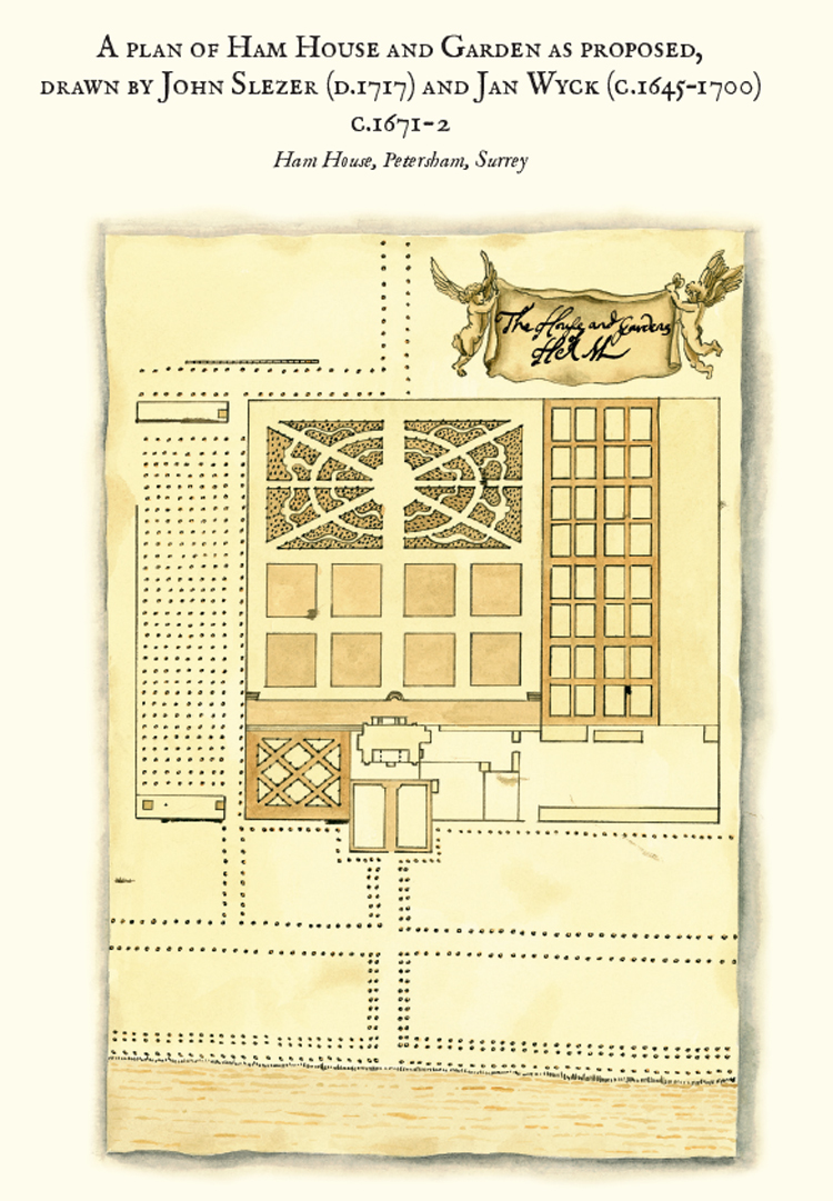
The Gardens at Ham House, 2012, pen & ink with watercolour, drawing of the Slezer Plan showing the designs for the redevelopment of the gardens, circa 1671-2
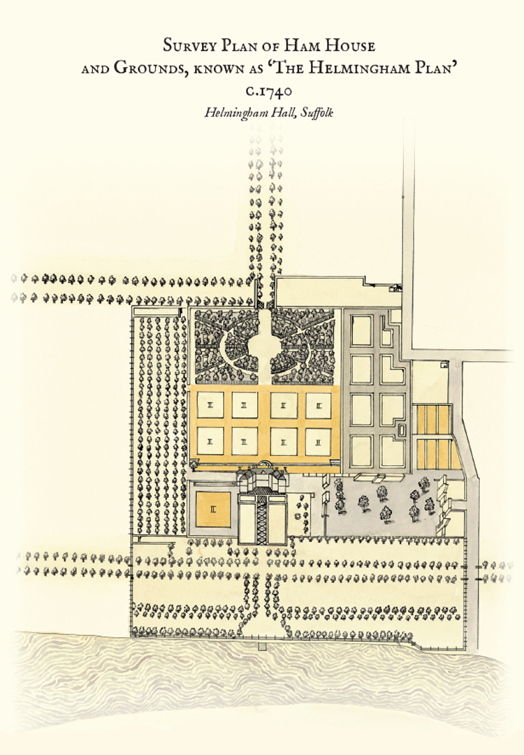
The Gardens at Ham House, 2012, pen & ink with watercolour, drawing of the Helmingham Plan, a survey of the garden, circa 1740
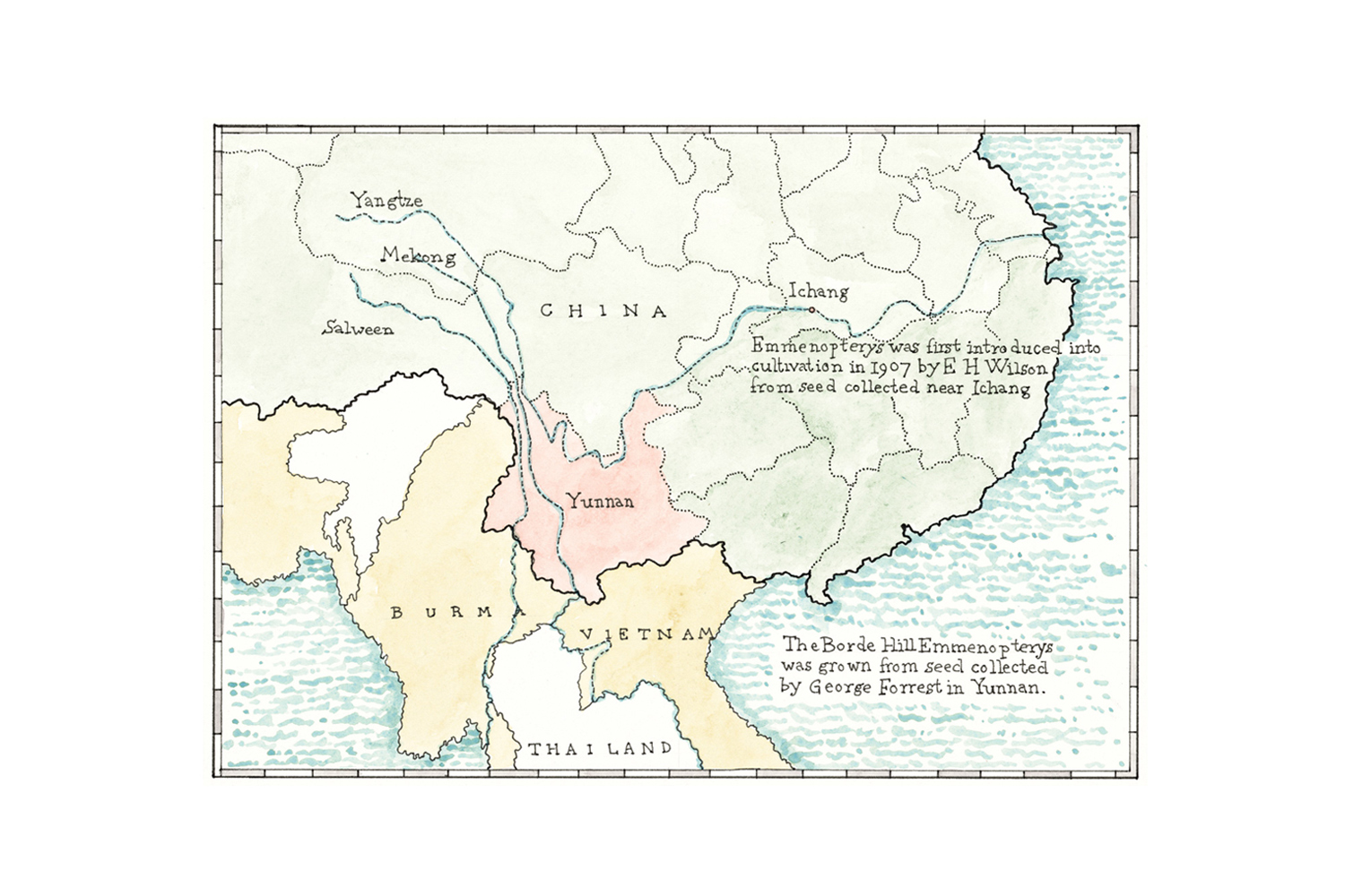
Borde Hill Plant Histories, 2012, pen & ink with watercolour, map of George Forrest’s plant hunting expedition to China and Tibet in 1907
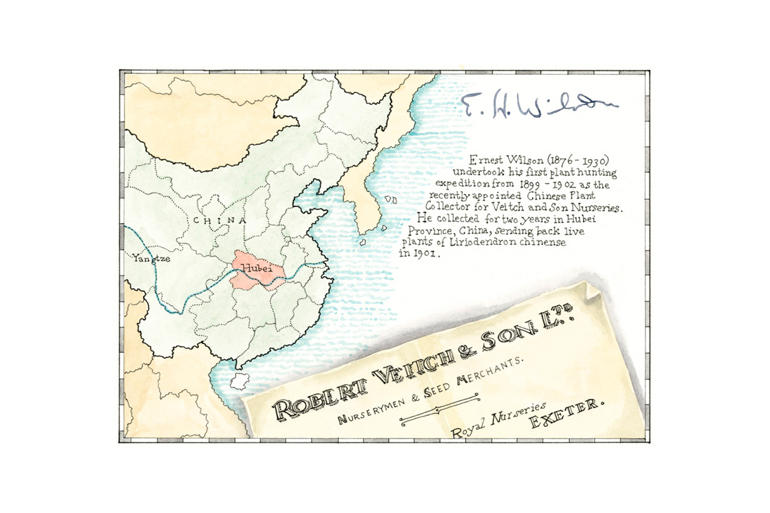
Borde Hill Plant Histories, 2012, pen & ink with watercolour, map of E. H. Wilson’s plant hunting expedition to China in 1899 - 1902
Maps
“What is it about maps? I could look at them all day, earnestly studying the names of towns and villages I have never heard of and will never visit …"
Bill Bryson